Maps
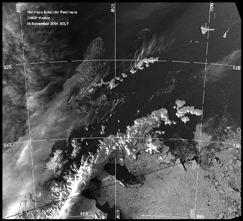
Click HERE to get a satellite picture from Nov 16 of the Antarctic Pennisula region.
Maps |
|||
| Click on the UCONN site and hit the Cruise Map button to see an updated map of where we are. | |||
Click HERE to get a satellite picture from Nov 16 of the Antarctic Pennisula region. |
|
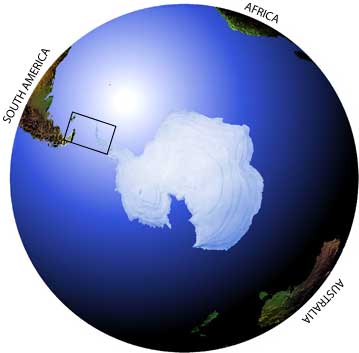
The box shows the general area we will be working in. | |
|
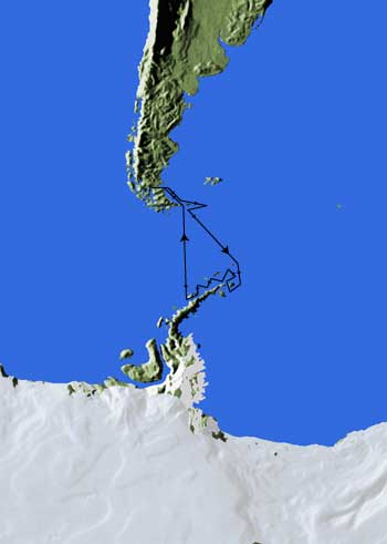
The black line shows our planned cruise track from Punta Arenas Chile to the Antarctic and back. | ||